How can I view a map of Bavaria?
Exploring the geography of Bavaria is now easy. Weltkartemap.com offers an interactive map platform that allows many online interactions.
Users can switch between different layers to gain a better understanding of the Bavaria map. Here you will find a lot of information about Bavaria.
Exploring Bavaria on a map has never been so easy. With Weltkartemap.com, you can examine the Bavaria map in detail using the following layers:
The political map shown on the Bavaria map
We show county borders, municipality borders, and administrative areas on the Bavaria map. You can choose between map services like OpenStreetMap and Google Maps to customize the map to your needs.
Bavaria has its own political structure within Germany. The map helps you understand the political geography of the region.
The tourist map shown on the Bavaria map
We show popular tourist attractions in Bavaria on the Bavaria map. Here you will find information about parks, amusement parks, historical sites, landmarks, restaurants, and shopping centers.
Parks on the Bavaria map
We have marked famous nature parks on the Bavaria map. Examples include the Altmühltal Regional Park, Exploration Tour in the Small Thal, Königssee.
- The Altmühltal Regional Park is a mix of culture and nature.
- The Small Thal houses numerous rare plants.
- The Königssee is known for its natural beauty.
Amusement parks on the Bavaria map
We have marked famous amusement parks on the Bavaria map. Examples include Bayern Park Reisbach, Churpfalzpark Loifling, Tierpark Hellabrunn.
- Bayern Park in Reisbach has many attractions for families.
- The Churpfalzpark Loifling allows you to combine nature experiences and adventure.
- The Hellabrunn Zoo in Munich is the world's first geo-zoo.
Historical sites on the Bavaria map
We have marked famous historical sites on the Bavaria map. Examples include Bamberg, Augsburg, Passau.
- Bamberg is a historic city with a rich architectural history.
- Augsburg is one of the oldest cities in Germany.
- Passau is located at the confluence of three rivers.
Landmarks on the Bavaria map
We have marked famous landmarks on the Bavaria map. Examples include Neuschwanstein Castle, Marienplatz, Nymphenburg Palace.
- Neuschwanstein Castle is known for its romantic architecture.
- Marienplatz in Munich is the central square of the city.
- Nymphenburg Palace in Munich is a former royal residence.
Recommended restaurants on the Bavaria map
We have marked famous restaurants on the Bavaria map. Examples include Hofbräuhaus München, Schuhbecks, Wirtshaus in der Au.
- Hofbräuhaus München is known for its Bavarian cuisine and beer.
- Schuhbecks in the Südtiroler Stuben offers upscale Bavarian cuisine.
- Wirtshaus in der Au has regional Bavarian specialties.
Shopping centers on the Bavaria map
We have marked famous shopping centers on the Bavaria map. Examples include Kaufingerstraße, Olympia-Einkaufszentrum, Riem Arcaden.
- Kaufingerstraße in Munich is an important shopping street.
- The Olympia-Einkaufszentrum in Munich is large and has many stores.
- The Riem Arcaden in Munich is modern and attractive.
The physical map shown on the Bavaria map
We show the physical features of Bavaria on the Bavaria map. With Weltkartemap.com, you can view topography, orthophotos, contour lines, earthquakes, rivers, tundra, and other physical information.
Bavaria's topography is diverse. There are mountains like the Alps and the Bavarian Forest, as well as valleys and rivers like the Main and the Isar.
The outdoor map shown on the Bavaria map
We show outdoor routes in Bavaria on our map. With Weltkartemap.com, you can discover various routes such as hiking, cycling, kayaking, and climbing tours.
Hiking through the Bavarian Forest offers a connection to nature. Cycling along the Main Radweg allows you to enjoy the scenic beauty.
Climbing tours in the Alps' rocks are a challenge for adventurers. Kayaking tours on the lakes offer a great way to experience the tranquility of the water surfaces.
The traffic map shown on the Bavaria map
We show the transportation routes in Bavaria on the Bavaria map. Through Weltkartemap.com, you can obtain information about roads, train lines, bus connections, and airports.
The transportation network in Bavaria connects various cities and municipalities. Munich Airport is an important hub for international and domestic flights. Train lines and bus connections allow convenient travel within Bavaria.
Relevant Data Sources
- German Geographical Network: https://www.dgn.de
- Federal Agency for Cartography and Geodesy: https://www.bkg.bund.de
- Bavaria Tourism Portal: https://www.bayern.by
- Munich Transport Association: https://www.mvg.de
Top 5 Popular Maps
Europe Map
Click on the Europe Map, switch layers, discover cultural highlights, historic cities, and natural beauty of Europe online.
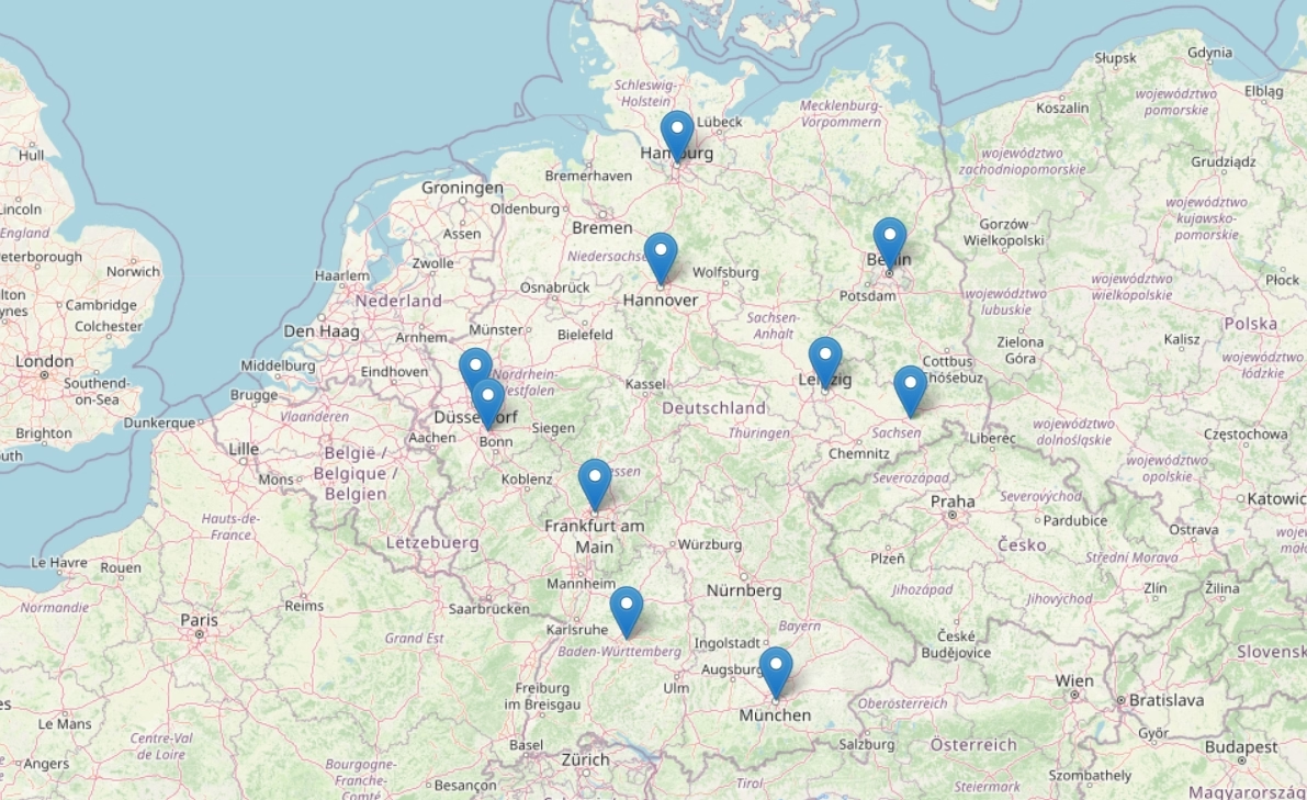
Germany Map
With a click, switch layers on the Germany Map and explore the diverse highlights from geographical details to cultural landmarks online.
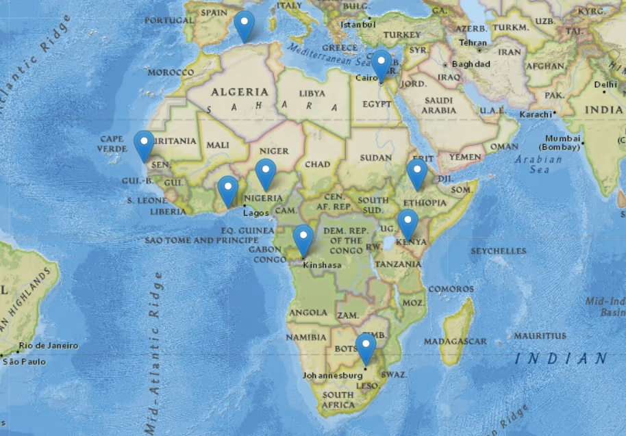
Africa Map
Click on the Africa Map, navigate between layers, and discover exotic landscapes, cultural diversity, and historical secrets of Africa online.
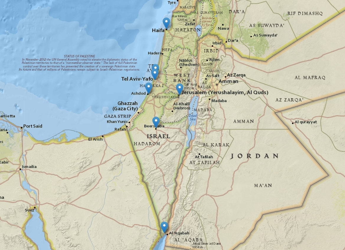
Israel Map
Click on the Israel Map, switch layers, discover historical sites, religious cultures, and landscapes of Israel, dive into the mysterious Holy Land.
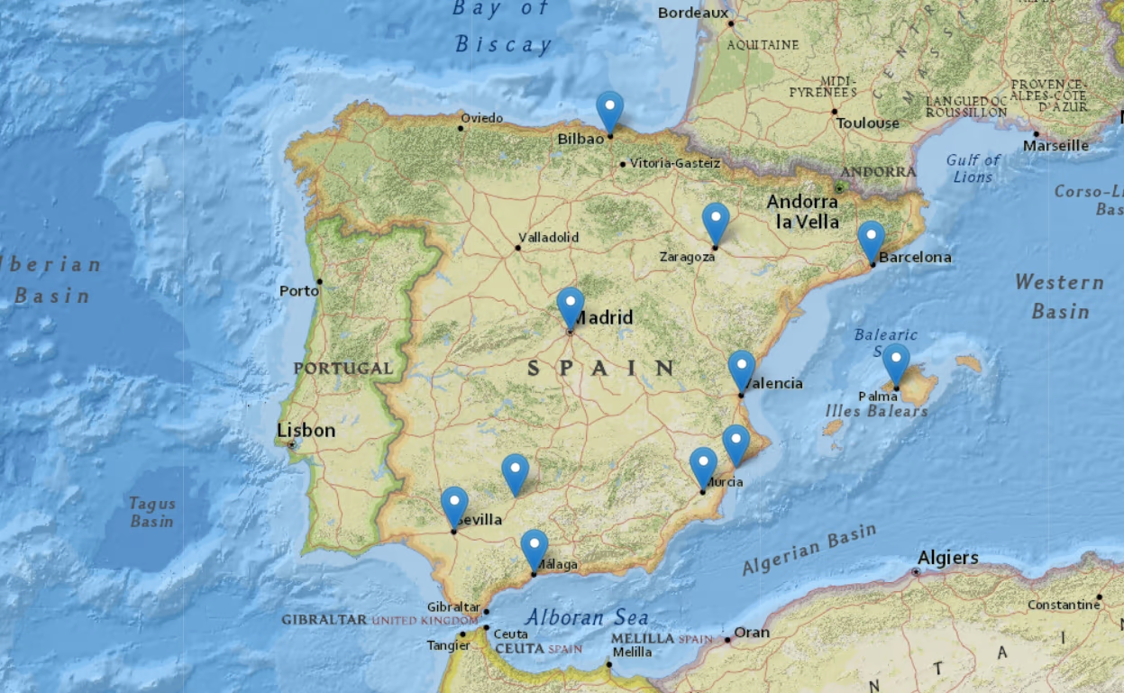
Spain Map
Click on the Spain Map, navigate between layers. Discover vibrant cities, beaches, history of Spain, and dive into its cultural world.
Latest Maps
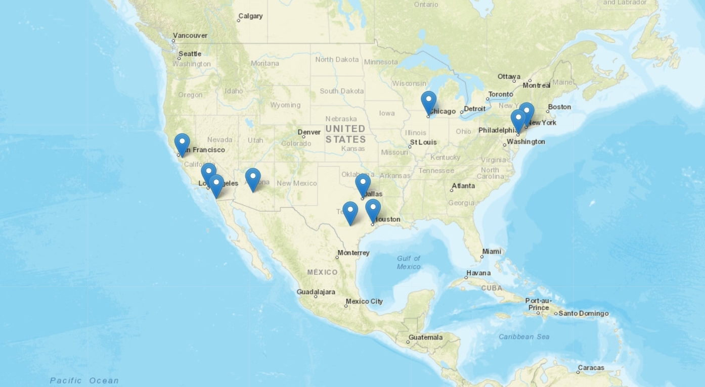
USA Map
With the USA Map online, discover historical sites, landmarks, and geographical features. Easily switch between map layers.
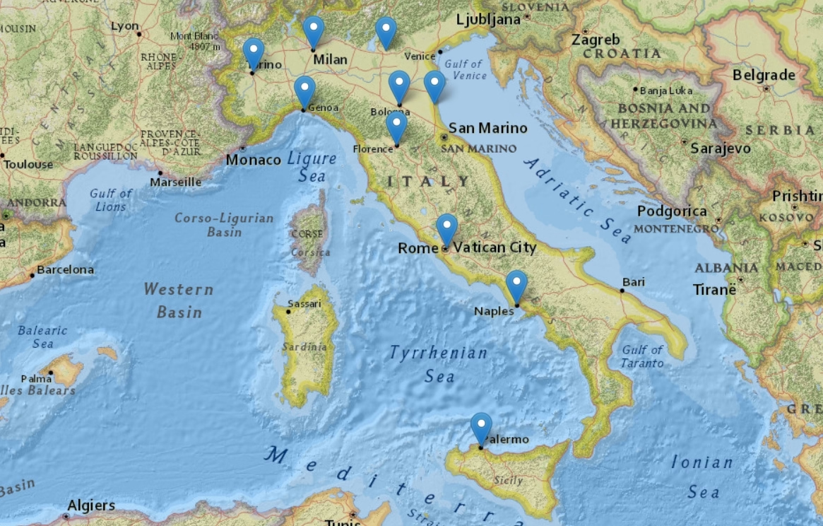
Italy Map
Click on the Italy Map and navigate between layers. Explore the charming cities, historical sites, and coastlines of Italy.
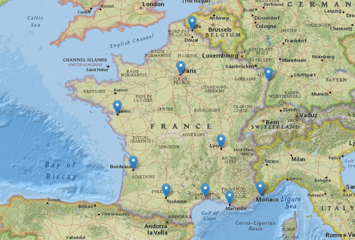
France Map
With the France Map online, discover world-famous landmarks, cultural centers, and scenic highlights. Easily switch between map layers.
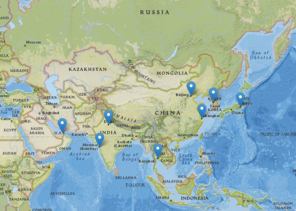
Asia Map
Click on the Asia Map and switch between layers. Discover cities of East Asia, islands of Southeast Asia, and cultural treasures of West Asia.
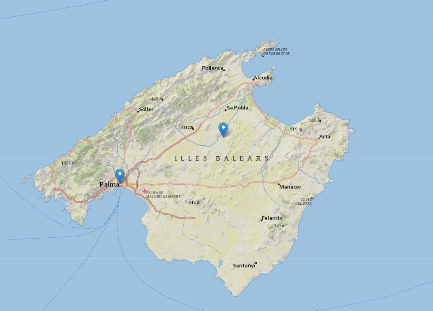
Mallorca Map
Click on the Mallorca Map and switch between layers. Discover the idyllic beaches, old towns, and landscapes of Mallorca.